Archive for October 2017
Trail and tribulation in Powell River
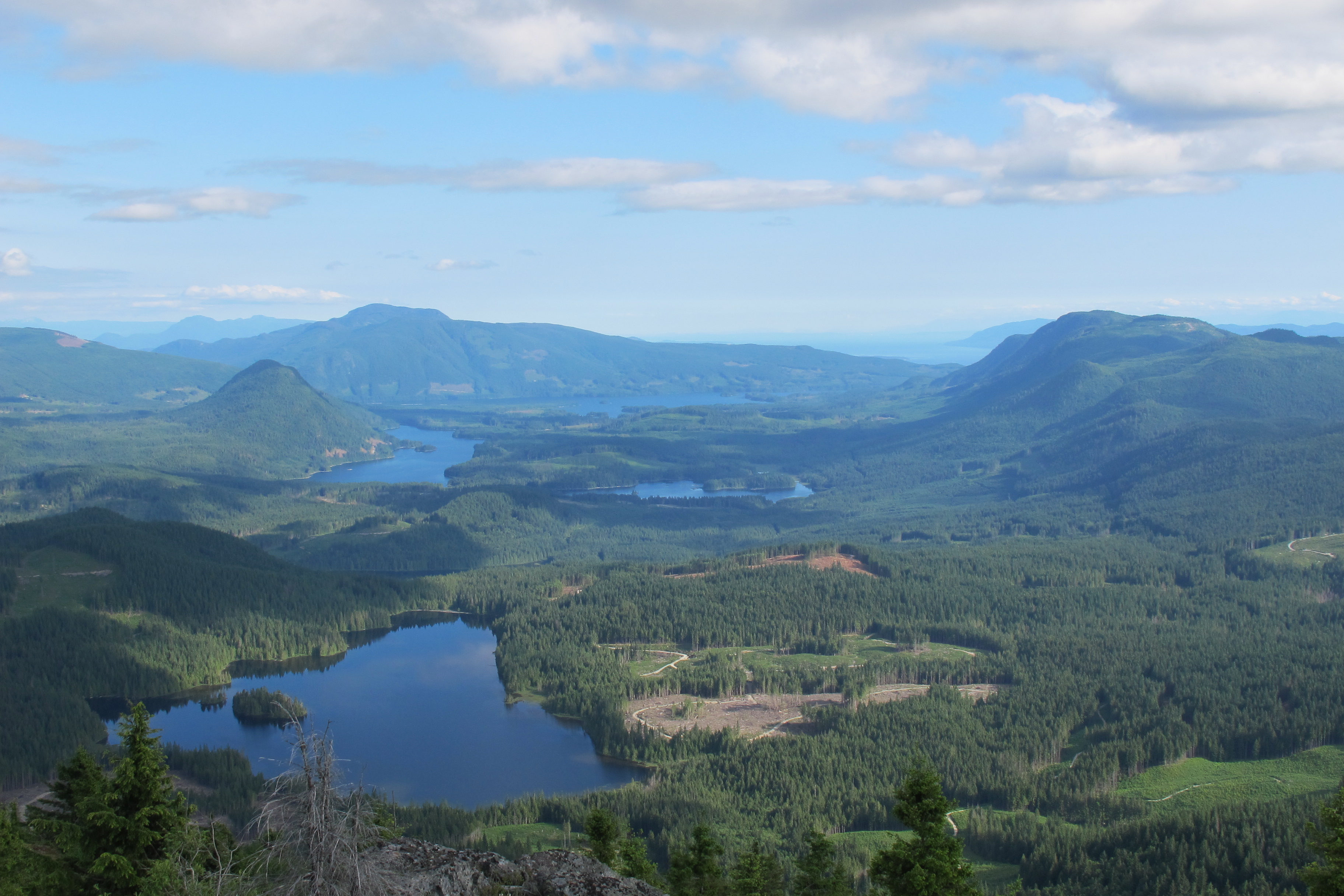
Make it to the top of Tin Hat Mountain and you will be rewarded with 360-degree views of more than two-dozen lakes. Plus you’re half way to finishing the trail! Photos courtesy Eagle Walz
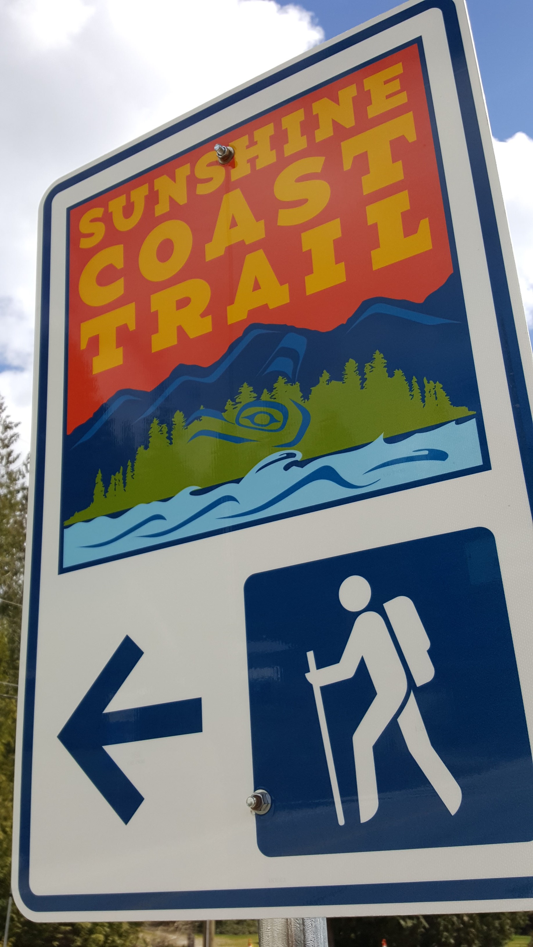
Connecting Sarah Point, near Lund, to the ferry terminal at Saltery Bay, the 180-kilometre Sunshine Coast Trail now ranks among the greatest hiking trails in the world, according to Explore Magazine’s Top-50 list. Not only is it more than twice the length of the West Coast Trail on Vancouver Island, it’s Canada’s longest hut-to-hut hiking trail, and it’s free!
The trail’s mix of old growth forest, mountain peaks and sandy shoreline, attract thousands of visitors from around the world each year. Fifteen beautifully constructed huts en route provide overnight accommodation on a first-come, first-serve basis.
“It’s beginning to be seen as an economic driver in Powell River,” says Eagle Walz. “It’s the biggest recreational tourism resource we have.”
Walz is a trailblazer, one of a handful of outdoor enthusiasts who in 1992 realized that accessible old growth on the Upper Sunshine Coast was fast disappearing. They formed the Powell River Parks and Wilderness Society (PRPAWS), a non-profit committed to setting aside protected areas on a trail sufficiently unique to lure locals and tourists alike.
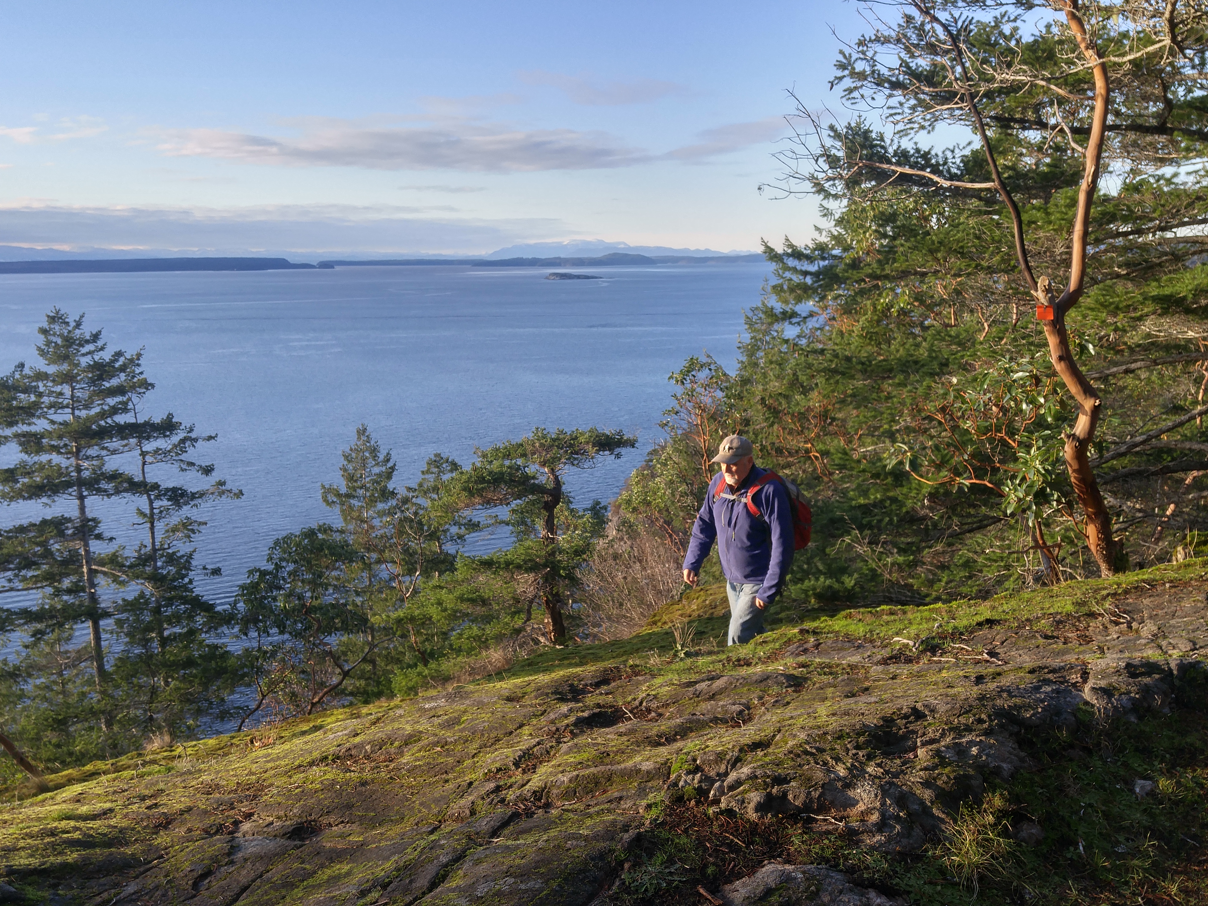
Eagle Walz in his element, hiking the Sunshine Coast Trail. Walz is a co-founder of the Powell River Parks and Wilderness Society, the non-profit behind the trail’s creation and upkeep.
PRPAWS mobilized volunteer work parties and began connecting the bushwhacked paths, deactivated roads, and disused railway grades left behind by a century of logging. In some places that meant constructing bridges – some 120 feet long – to ford creeks and rivers. They found enduring allies in a group of bloody old men, otherwise known as the BOMB (Bloody Old Men’s Brigade) squad. Comprising mostly retirees, many of whom practiced their trades at Powell River’s paper mill, the BOMB squad helped build bridges and huts, and are still counted upon for help in the trail’s never-ending maintenance.
The first time I interviewed Eagle for a story back in 2000, he was fending off criticism from a variety of sources over liability issues and the environmental concerns about sensitive wildlife areas. Walz and his cohorts had run into a host of jurisdictional challenges, too. Crown forest land, private land owned by logging companies, and Tla’amin Nation land are among the eight jurisdictions through which the trail crosses.
Seventeen years ago, he addressed those questions with a question of his own: “Would the trail have been built if we’d settled all these issues first?”
When I caught up with Eagle earlier this year, that question at least, appeared to have been answered. “You couldn’t start this trail now and try and make this happen,” says Eagle. “But that doesn’t mean the logging companies won’t stop logging. Western Forest Products, with their tree farm licence, they are the biggest interest. We manage to work together and eke out considerations. I only wish it would be a bigger buffer along the trail than we get most of the time.”
That buffer can be from 10 to 30 metres, sometimes more. Occasionally, the trail must be relocated in places. Overall, says Eagle, compromise and varying levels of protection ensure the trail’s viability.
“Our vision is that in 100 years, we’ll have no more logging near the trail,” he says. “It will be designated an old growth trail to be enjoyed by future generations. It needs someone to be the champion for it. We’re hopeful the younger generation will take over and certainly a lot of younger people are using it. People of all ages.”
Perhaps more challenging to PRPAWS is pressure on the trail from non-hikers.
“Mountain biking is very popular here, as it is everywhere else. The pressure is always to turn something into something else. But a multi-use trail wouldn’t have the same appeal as a single-use trail. We’re struggling to remain a hiking trail only because that’s what’s given us the edge in the market place. That’s what is bringing people by the thousands from all over the world to Powell River.”
In the meantime, trail maintenance keeps Eagle busier than ever. Ten years retired as a teacher, Eagle says he has time to enjoy the trail, but it’s usually when he’s part of a work party. The day I call him, he’s about to leave on just such a mission – a five-night trip to Confederation Lake, a steep section of the trail in Inland Lake Park, north of Powell River.

Eagle Walz takes in the view from the hut atop Tin Hat Mountain.
It’s a favourite spot, he says, before adding: “I think usually where I’m working, I like that part the best.” Eagle’s other cherished locations include Tin Hat Mountain with its 360-degree views of more than two-dozen lakes; and Mount Troubridge, popular for its magnificent stands of Douglas fir and yellow-cedar old growth.
When Eagle’s not on the trail, he’s writing about it – though not in the way he might have envisaged in 1972, when he moved to Powell River to write poetry: “I write hundreds and hundreds of emails,” he says in a deadpan voice. “That’s basically the extent of my writing.”
- Visit http://sunshinecoast-trail.com/ for everything you need to know about planning a trip, including the definitive guide to the trail, written by – who else? – Eagle Walz.
